Candler County is a county located in the southeastern part of the U.S. state of Georgia. As of the 2020 census, the population was 10,981. The county seat is Metter. The county was founded in 1914 and named for Allen D. Candler, the 56th governor of Georgia.
Geography
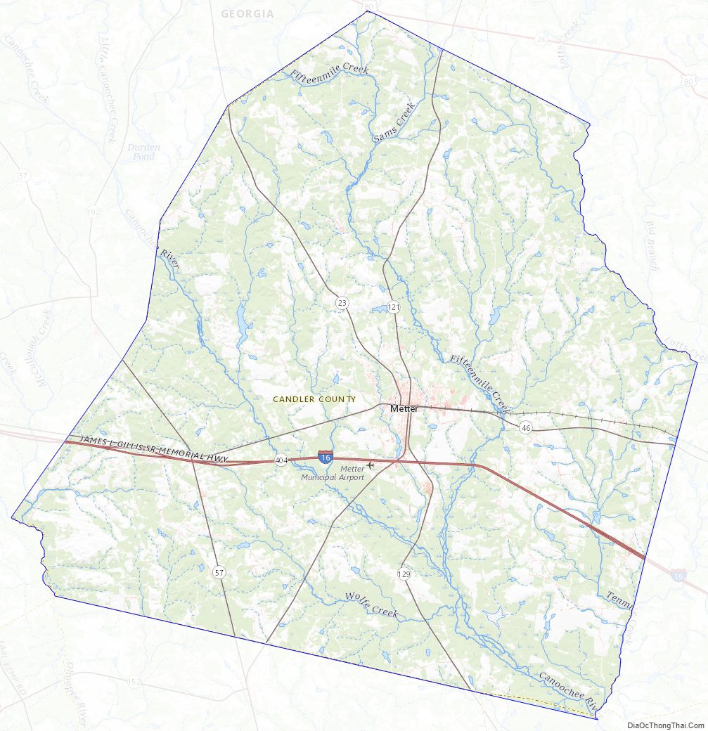
According to the U.S. Census Bureau, the county has a total area of 249 square miles (640 km2), of which 243 square miles (630 km2) is land and 5.8 square miles (15 km2) (2.3%) is water.
The majority of Candler County is located in the Canoochee River sub-basin of the Ogeechee River basin. The western edge of the county, west of State Route 57, is located in the Ohoopee River sub-basin of the Altamaha River basin.
Major highways
- I-16 (Interstate 16)
- SR 23
- SR 26
- SR 46
- SR 57
- SR 121
- SR 129
- SR 404 (unsigned designation for I-16)
Adjacent counties
- Bulloch County (east)
- Evans County (southeast)
- Tattnall County (south)
- Emanuel County (northwest)
Communities
City
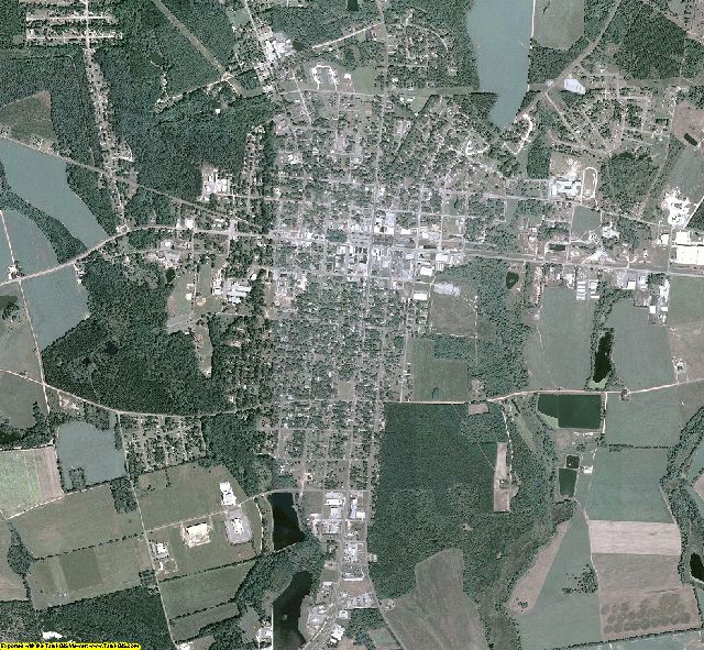
- Metter (county seat)
Town
- Pulaski
Demographics
As of the 2020 United States census, there were 10,981 people, 4,013 households, and 2,775 families residing in the county.
Education
Politics
See also
- National Register of Historic Places listings in Candler County, Georgia
References
External links
- Candler County
- Candler County historical marker